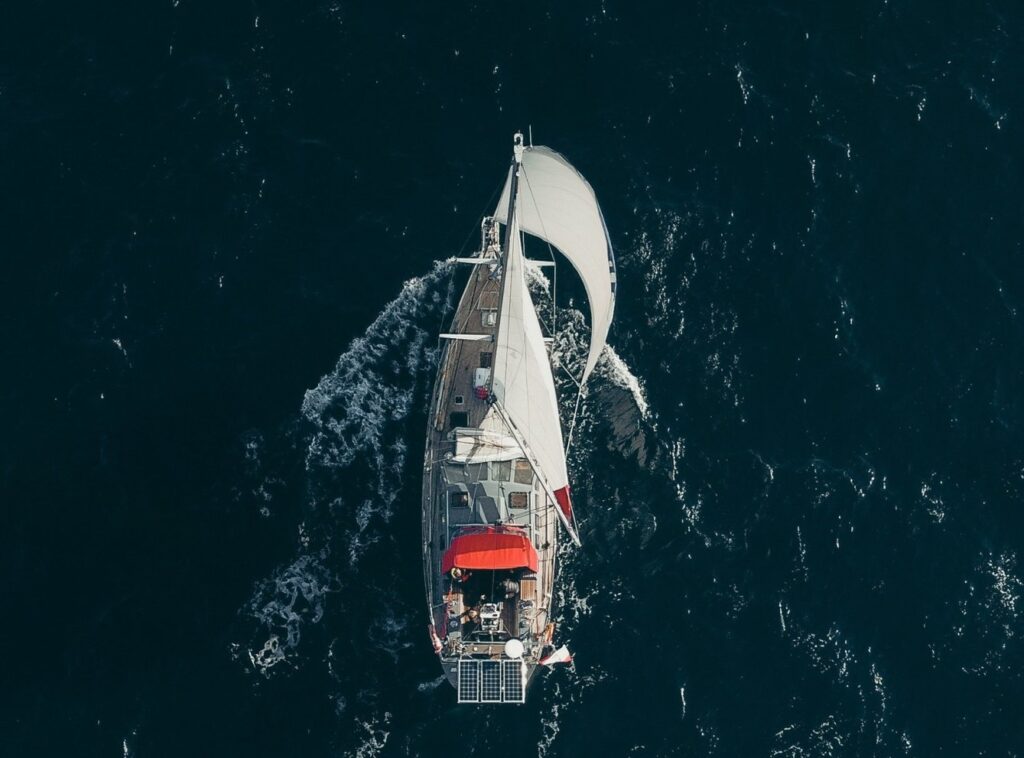
Day 2
45NM/ [9h] of sailing
Kulusuk-Tasilaq-Ikâsartivaq Fjord, Tiilerilaaq
Tasilaq is the most practical place to complete our provisioning. We do not linger long, as greater adventures await ahead. Sailing through the beatiful Ikasartivaq Fjord, we reach the small settlement of Tiilerilaaq (Tinitiqilaaq). Home to just over 100 residents. A shelter bay welcomes us from the east, while to the west magnificent views open onto the spectacular Sermilik Fjord.

If there is anywhere we are likely to witness giant icebergs freshly calved from the ice sheet, it is here.
Day 3
35NM/ [7h] of sailing
Tiilerilaaq- Sermilik Fjord
Massive sections of the Greenland Ice Sheet break away and drift into Sermilik Fjord.
Conditions here are never the same. Sometimes strong winds prevent us from heading out, while at other times the fjord is so packed with ice that pushing north becomes impossible. On luckier days, the ice is loose enough for us to reach Paarnakajiit, a remote fisherman's hut and one of the last traces of human presence in this wilderness.
If the weather is kind, we may spend the night in one of the fjord's sheltered anchorages, surrounded by unforgettable Arctic scenery.

Day 4
70NM, [15h] of sailing
Sermilik Fjord-Ikateq-Isortoq/ Sermiligaaq
It is decision time. Do we head west toward Isortoq, one of East Greenland's most remote settlements, or turn east instead?
There are simply too many attractions for a single week-long voyage.

We may choose to sail to Sermiligaaq, a village of just over 200 inhabitants, where we will find both a shop and hot showers. At the northern end of the fjord lie two impressive glaciers, Rasmussen Glacier and Kârale Glacier.
Whether we visit them depends on time, weather, and ice conditions.
Day 5
15-45NM, [3-9h] of sailing
Sermiligaaq- Blue East II
We pass the Knud Rasmussen and Kârale glaciers. Visiting both requires a significant detour of nearly 30 nautical miles, so the decision depends on our ambitions and conditions.

The day's main attraction, however, is Bluie East Two, an abandoned American radio and military installation dating back to World War II.
The base was built in one of the few locations suitable for an airstrip. At the time, nearly 200,000 fuel drums were left on site. After the war, the fuel disappeared surprisingly quickly, while every remaining artifact gradually acquired the area's characteristic rusty color and became part of the landscape. A large-scale cleanup operation began in 2017.
This is also an excellent area for trekking. Despite the relatively short distance to the next settlement, we are likely to arrive late in the day.
Day 6
50-75NM/ 10-15h of sailing
Kuummiit
Around 250 people live in Kuummiut. In Greenlandic, the name means "those who live by the river."
Because the nearby waters remain ice-free throughout winter, Kuummiut is home to the only fish-processing facility in East Greenland.
The surrounding mountain peaks offer absolutely stunning views and invite us to enjoy a full day of hiking. It would be a shame to miss the opportunity.
Kulusuk
An extraordinary week in East Greenland has come to an end.Time to board the flight back to Europe!


 If conditions allow, we will reposition to Tasilaq later that same day.